Brumby VIC 3885
This Brumby suburb profile includes demographic data and planning information to help you make an informed property decision.
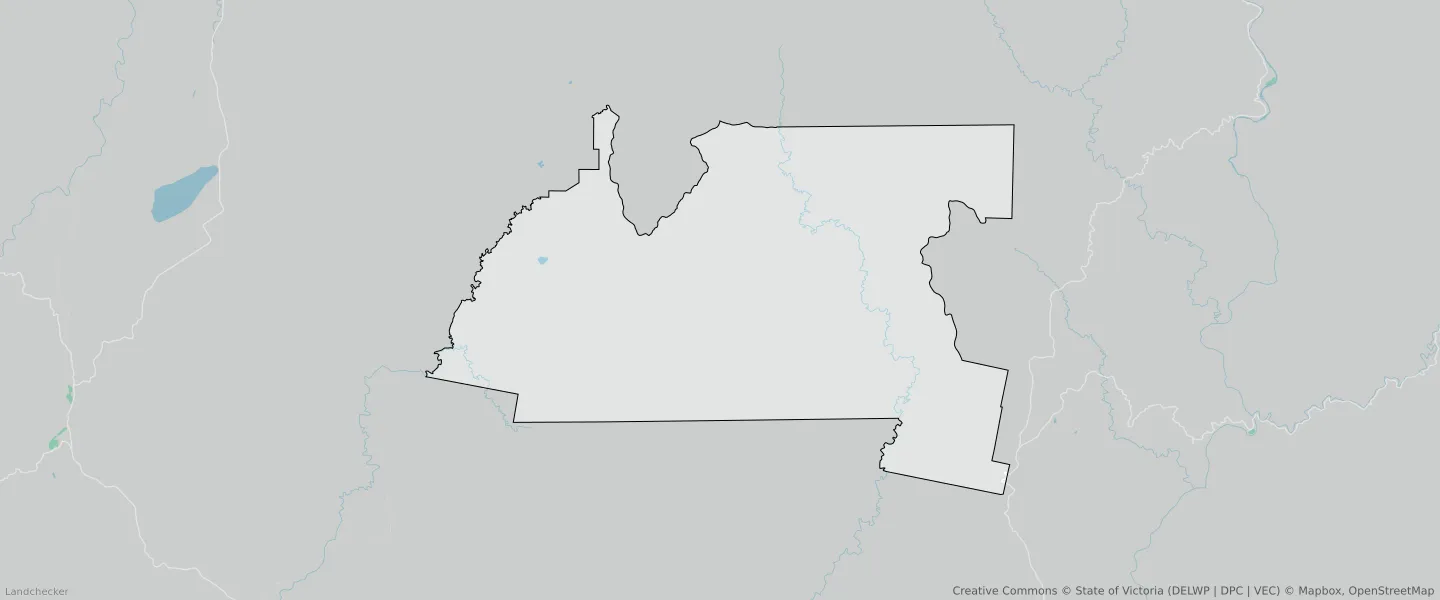
An average home in Brumby is other/not stated by group households. The average age in Brumby is 0. Units and Apartments are common in Brumby and the area is mostly PUBLIC CONSERVATION AND RESOURCE ZONE (99.99%), FARMING ZONE (0.01%) and TRANSPORT ZONE (0%).
BRUMBY planning zones
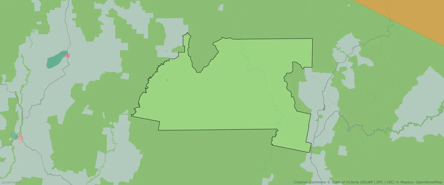
| Zone Code | Zone Name | Percentage Covered | Area Covered | |
|---|---|---|---|---|
| FZ | FARMING ZONE | 0.01% | 42,571.41㎡ | |
| PCRZ | PUBLIC CONSERVATION AND RESOURCE ZONE | 99.99% | 513,505,082.78㎡ | |
| TRZ2 | TRANSPORT ZONE | 0% | 13㎡ |
Looking to research a property in BRUMBY?
Go to mapData Source - ABS