Broadford VIC 3658
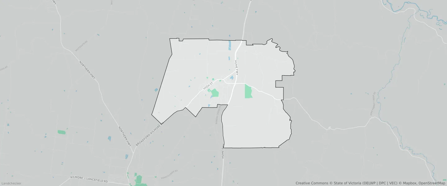
This Broadford suburb profile includes demographic data and planning information to help you make an informed property decision.
An average home in Broadford is owned with a mortgage by couples with children. The average age in Broadford is 40. Separate houses are common in Broadford and the area is mostly FARMING ZONE (83.95%), PUBLIC USE ZONE (3.31%) and GENERAL RESIDENTIAL ZONE (3.22%).
Broadford demographics
Population
4592
Average Age
40
Age Distribution
Employment Type
Median Weekly Income
Traveled to Work
Car
89.4%
Tram
0.0%
Bicycle
0.0%
Train
0.9%
Walking
1.6%
Bus
0.0%
Broadford property information
Number of Bedrooms
Tenure Type
Property Types in Broadford
Separate house
Semi detached house
Unit/Apartment
Median monthly mortgage repayments
$1,507
Median weekly rental payments
$314
Average number of bedrooms per dwelling
3.3
Average number of people per household
3
Household Composition
Family Composition
Couple family without children
One parent family
Couple family with children
BROADFORD planning zones
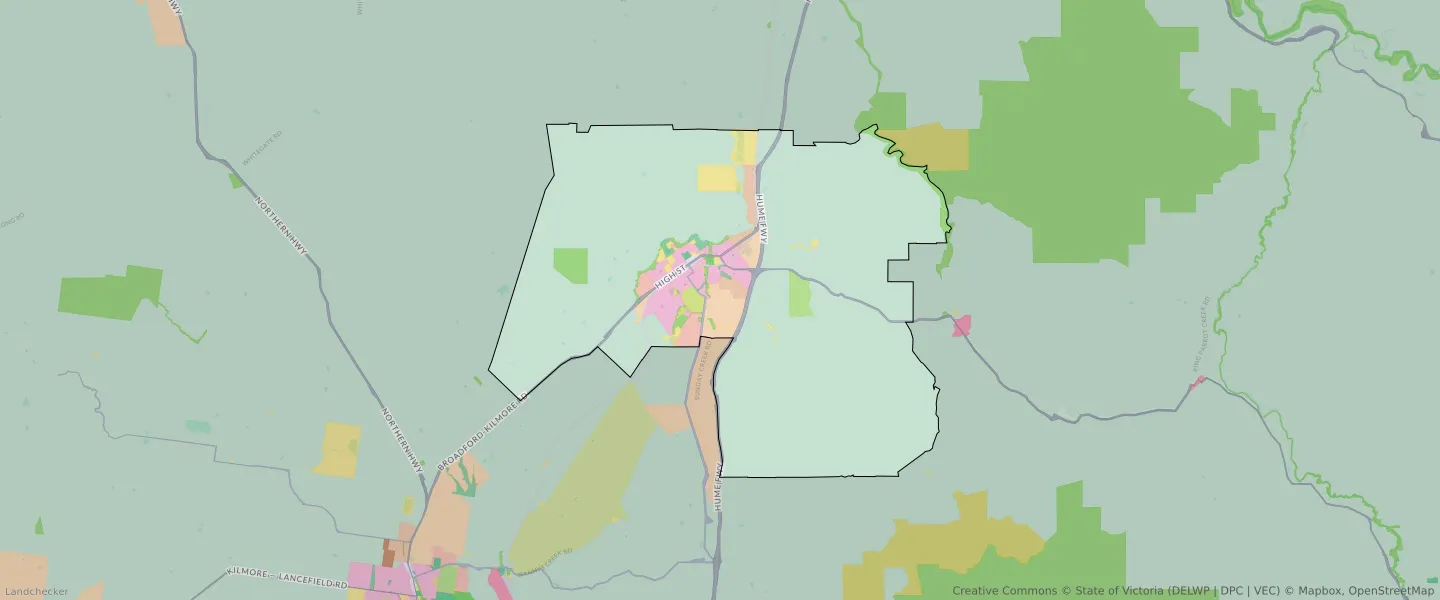
| Zone Code | Zone Name | Percentage Covered | Area Covered | |
|---|---|---|---|---|
| C1Z | COMMERCIAL 1 ZONE | 0.1% | 102,688.56㎡ | |
| FZ | FARMING ZONE | 83.95% | 89,051,051.44㎡ | |
| GRZ | GENERAL RESIDENTIAL ZONE | 3.22% | 3,413,270.57㎡ | |
| IN1Z | INDUSTRIAL 1 ZONE | 1.09% | 1,153,235.32㎡ | |
| LDRZ | LOW DENSITY RESIDENTIAL ZONE | 0.8% | 850,790.03㎡ | |
| PCRZ | PUBLIC CONSERVATION AND RESOURCE ZONE | 2.17% | 2,301,556.59㎡ | |
| PPRZ | PUBLIC PARK AND RECREATION ZONE | 0.34% | 361,222.82㎡ | |
| PUZ | PUBLIC USE ZONE | 3.31% | 3,511,989.91㎡ | |
| RLZ | RURAL LIVING ZONE | 2% | 2,119,462.1㎡ | |
| SUZ | SPECIAL USE ZONE | 0.72% | 760,073.61㎡ | |
| TRZ1 | TRANSPORT ZONE | 0.36% | 385,436.29㎡ | |
| TRZ2 | TRANSPORT ZONE | 1.84% | 1,948,391.49㎡ | |
| TRZ3 | TRANSPORT ZONE | 0.12% | 122,690.73㎡ |
Looking to research a property in BROADFORD?
Go to mapData Source - ABS