Boulder WA 6432
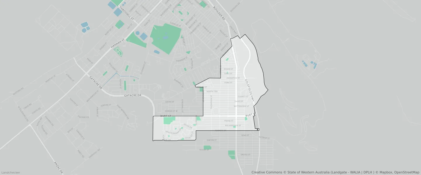
This Boulder suburb profile includes demographic data and planning information to help you make an informed property decision.
An average home in Boulder is owned with a mortgage by couples with children. The average age in Boulder is 35. Separate houses are common in Boulder and the area is mostly RESIDENTIAL (34.97%), LOCAL ROAD (17.86%) and R20 (15.74%).
Boulder demographics
Population
4872
Average Age
35
Age Distribution
Employment Type
Median Weekly Income
Traveled to Work
Car
80.9%
Tram
0.0%
Bicycle
0.4%
Train
0.0%
Walking
2.3%
Bus
2.8%
Boulder property information
Number of Bedrooms
Tenure Type
Property Types in Boulder
Separate house
Semi detached house
Unit/Apartment
Median monthly mortgage repayments
$1,302
Median weekly rental payments
$300
Average number of bedrooms per dwelling
3.1
Average number of people per household
2
Household Composition
Family Composition
Couple family without children
One parent family
Couple family with children
BOULDER planning zones
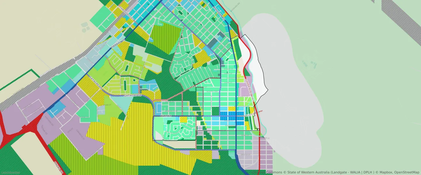
| Zone Code | Zone Name | Percentage Covered | Area Covered | |
|---|---|---|---|---|
| CIVIC AND COMMUNITY | CIVIC AND COMMUNITY | 2.76% | 118,686.63㎡ | |
| COMMERCIAL | COMMERCIAL | 1.32% | 56,901.81㎡ | |
| DISTRICT DISTRIBUTOR ROAD | DISTRICT DISTRIBUTOR ROAD | 1.75% | 75,070.29㎡ | |
| DRAINAGE AND WATERWAYS | DRAINAGE AND WATERWAYS | 0.2% | 8,674㎡ | |
| GENERAL INDUSTRY | GENERAL INDUSTRY | 2.15% | 92,420.08㎡ | |
| INDUSTRIAL DEVELOPMENT | INDUSTRIAL DEVELOPMENT | 2.75% | 118,187.32㎡ | |
| LIGHT INDUSTRY | LIGHT INDUSTRY | 2.12% | 90,928.21㎡ | |
| LOCAL DISTRIBUTOR ROAD | LOCAL DISTRIBUTOR ROAD | 3.02% | 129,696.44㎡ | |
| LOCAL ROAD | LOCAL ROAD | 17.86% | 767,594.83㎡ | |
| MIXED USE | MIXED USE | 1.78% | 76,686.03㎡ | |
| PRIMARY DISTRIBUTOR ROAD | PRIMARY DISTRIBUTOR ROAD | 3.42% | 147,132.25㎡ | |
| PRIVATE CLUBS, INSTITUTIONS AND PLACE OF WORSHIP | PRIVATE CLUBS, INSTITUTIONS AND PLACE OF WORSHIP | 0.21% | 9,154.09㎡ | |
| PUBLIC OPEN SPACE | PUBLIC OPEN SPACE | 9.1% | 391,420.46㎡ | |
| PUBLIC PURPOSES | PUBLIC PURPOSES | 2.2% | 94,676.46㎡ | |
| PUBLIC PURPOSES | PUBLIC PURPOSES RESERVE | 2.2% | 94,676.46㎡ | |
| R10 | R10 | 0.22% | 9,657.33㎡ | |
| R12.5 | R12.5 | 0.81% | 34,611.57㎡ | |
| R15 | R15 | 0.81% | 34,920.44㎡ | |
| R20 | R20 | 15.74% | 676,821.31㎡ | |
| R25 | R25 | 1.16% | 49,822.97㎡ | |
| R30 | R30 | 8.6% | 369,639.04㎡ | |
| R40 | R40 | 6.98% | 300,238.49㎡ | |
| R50 | R50 | 1.15% | 49,569.07㎡ | |
| R-AC3 | R-AC3 | 0.92% | 39,437.08㎡ | |
| R-AC4 | R-AC4 | 1.58% | 67,782.57㎡ | |
| RESIDENTIAL | RESIDENTIAL | 34.97% | 1,503,351.85㎡ | |
| RURAL | RURAL | 13.3% | 571,784.08㎡ | |
| RURAL | RURAL ZONE | 13.3% | 571,784.08㎡ | |
| TOURISM | TOURISM | 1.06% | 45,652.84㎡ |
Looking to research a property in BOULDER?
Go to mapData Source - ABS