Boola VIC 3825
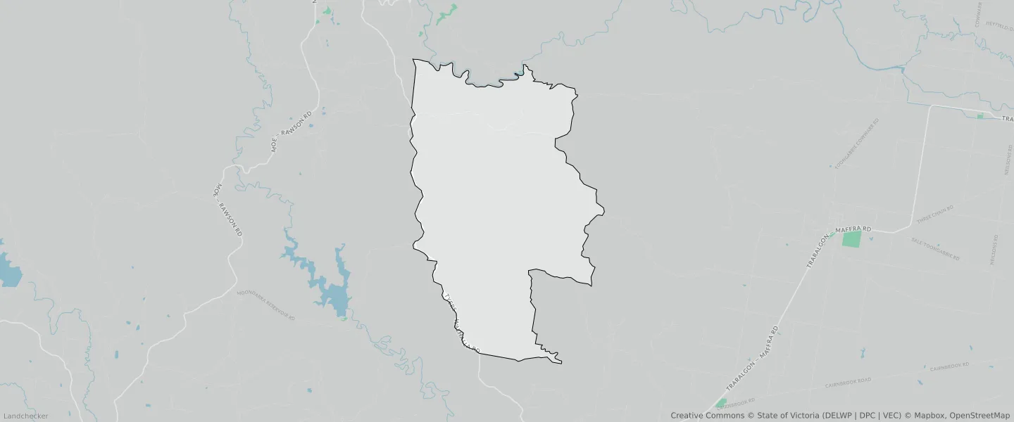
This Boola suburb profile includes demographic data and planning information to help you make an informed property decision.
An average home in Boola is other/not stated by group households. The average age in Boola is 0. Units and Apartments are common in Boola and the area is mostly PUBLIC CONSERVATION AND RESOURCE ZONE (95.51%), PUBLIC CONSERVATION AND RESOURCE ZONE (2.45%) and FARMING ZONE (1.19%).
BOOLA planning zones
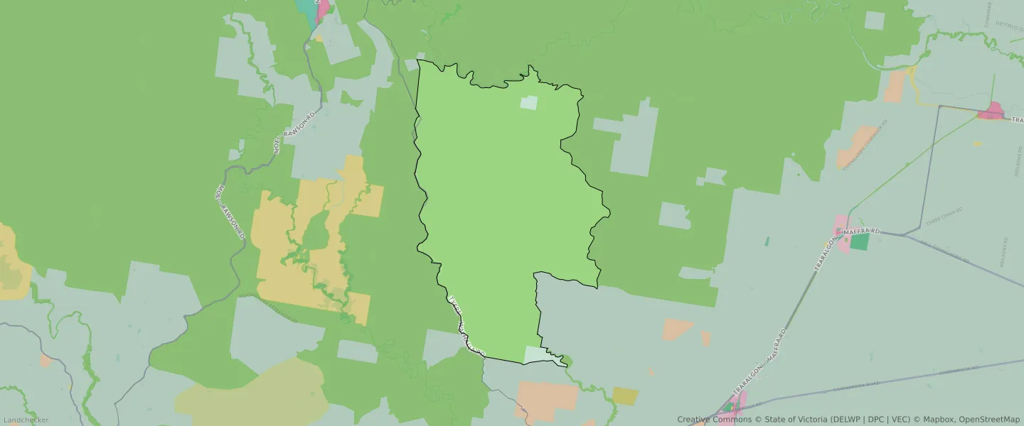
| Zone Code | Zone Name | Percentage Covered | Area Covered | |
|---|---|---|---|---|
| FZ | FARMING ZONE | 0.54% | 385,172.38㎡ | |
| FZ | FARMING ZONE | 1.19% | 845,737.05㎡ | |
| PCRZ | PUBLIC CONSERVATION AND RESOURCE ZONE | 2.45% | 1,747,872.88㎡ | |
| PCRZ | PUBLIC CONSERVATION AND RESOURCE ZONE | 95.51% | 68,153,757.88㎡ | |
| TRZ2 | TRANSPORT ZONE | 0.02% | 13,017.08㎡ | |
| TRZ2 | TRANSPORT ZONE | 0.29% | 206,815.38㎡ |
Looking to research a property in BOOLA?
Go to mapData Source - ABS