Baudin WA 6284
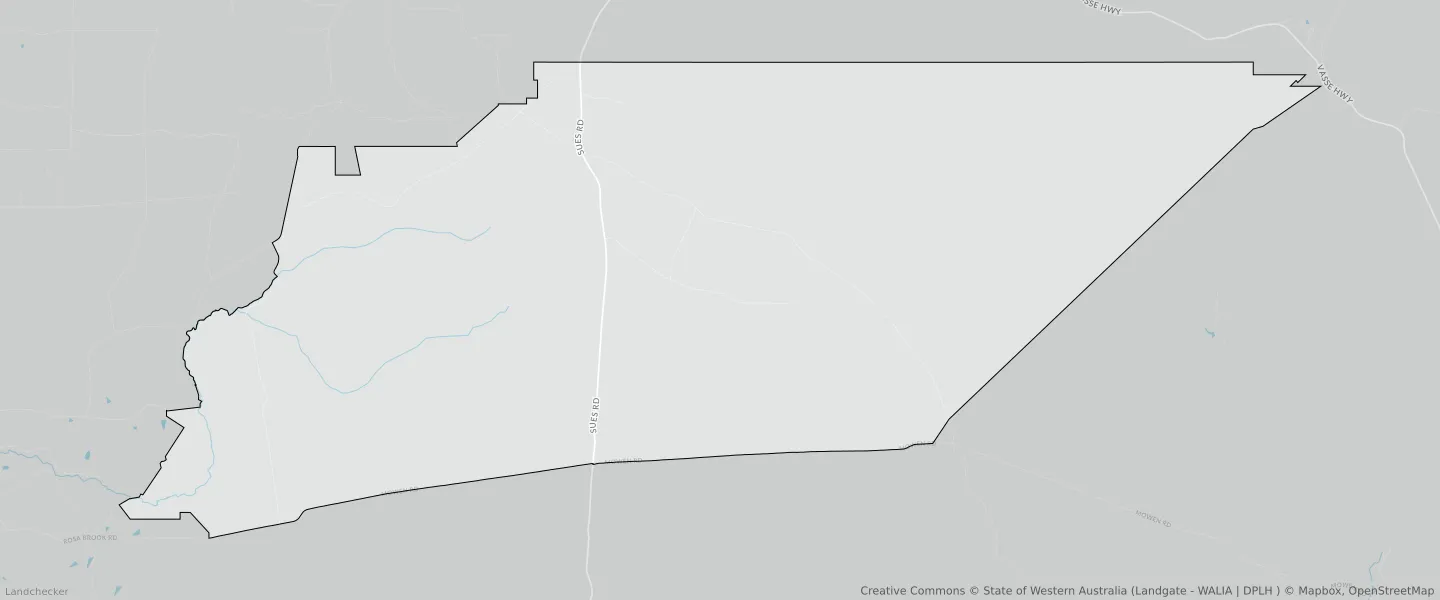
This Baudin suburb profile includes demographic data and planning information to help you make an informed property decision.
An average home in Baudin is other/not stated by group households. The average age in Baudin is 0. Units and Apartments are common in Baudin and the area is mostly STATE FOREST (99.58%), HIGHWAYS AND MAIN ROADS (0.13%) and LOCAL ROAD (0.12%).
BAUDIN planning zones
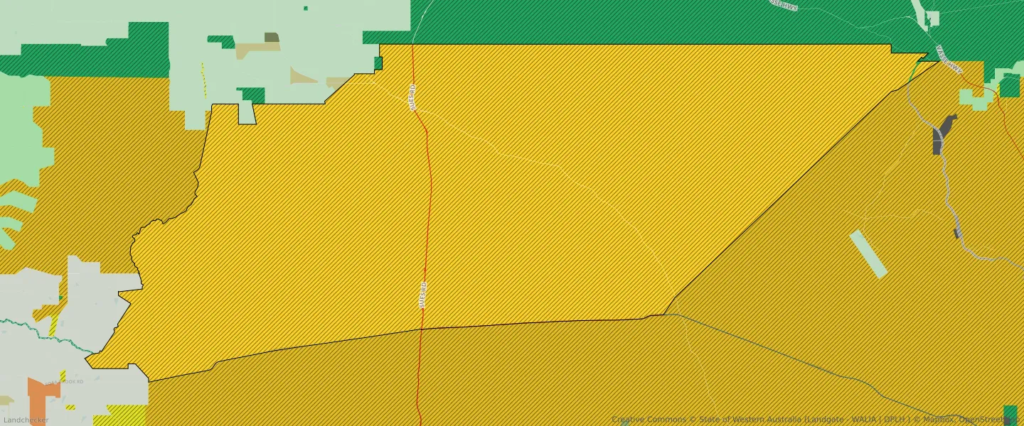
| Zone Code | Zone Name | Percentage Covered | Area Covered | |
|---|---|---|---|---|
| GENERAL AGRICULTURE | GENERAL AGRICULTURE | 0% | 918.97㎡ | |
| HIGHWAYS AND MAIN ROADS | HIGHWAYS AND MAIN ROADS | 0.13% | 460,333.98㎡ | |
| LOCAL ROAD | LOCAL ROAD | 0.12% | 408,440.06㎡ | |
| PARKS AND RECREATION | PARKS AND RECREATION | 0.02% | 77,789.82㎡ | |
| PARKS AND RECREATION | PARKS AND RECREATION RESERVE | 0.02% | 77,789.82㎡ | |
| PRIMARY DISTRIBUTOR ROAD | PRIMARY DISTRIBUTOR ROAD | 0.03% | 108,433.6㎡ | |
| STATE FOREST | STATE FOREST | 99.58% | 342,443,383.3㎡ | |
| STATE FOREST | STATE FOREST | 0% | 388.75㎡ |
Looking to research a property in BAUDIN?
Go to mapData Source - ABS