Batesford VIC 3213
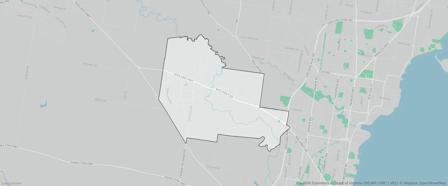
This Batesford suburb profile includes demographic data and planning information to help you make an informed property decision.
An average home in Batesford is owned with a mortgage by couples with children. The average age in Batesford is 39. Separate houses are common in Batesford and the area is mostly URBAN GROWTH ZONE (31.25%), FARMING ZONE (21.47%) and LOW DENSITY RESIDENTIAL ZONE (19.23%).
Batesford demographics
Population
1141
Average Age
39
Age Distribution
Employment Type
Median Weekly Income
Traveled to Work
Car
86.1%
Tram
0.0%
Bicycle
0.0%
Train
0.0%
Walking
3.0%
Bus
0.0%
Batesford property information
Number of Bedrooms
Tenure Type
Property Types in Batesford
Separate house
Semi detached house
Unit/Apartment
Median monthly mortgage repayments
$2,268
Median weekly rental payments
$325
Average number of bedrooms per dwelling
4.0
Average number of people per household
3
Household Composition
Family Composition
Couple family without children
One parent family
Couple family with children
BATESFORD planning zones
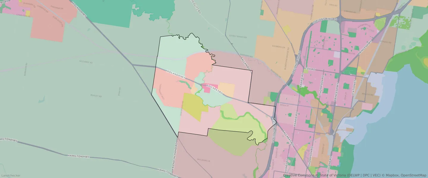
| Zone Code | Zone Name | Percentage Covered | Area Covered | |
|---|---|---|---|---|
| FZ | FARMING ZONE | 21.47% | 4,530,325.98㎡ | |
| FZ | FARMING ZONE | 5.09% | 1,073,359.57㎡ | |
| LDRZ | LOW DENSITY RESIDENTIAL ZONE | 19.23% | 4,057,683.2㎡ | |
| PCRZ | PUBLIC CONSERVATION AND RESOURCE ZONE | 1.69% | 356,487.82㎡ | |
| PPRZ | PUBLIC PARK AND RECREATION ZONE | 0.28% | 58,517.42㎡ | |
| RCZ | RURAL CONSERVATION ZONE | 5.34% | 1,125,849.9㎡ | |
| RLZ | RURAL LIVING ZONE | 2.86% | 604,242.59㎡ | |
| SUZ | SPECIAL USE ZONE | 8.87% | 1,871,375.01㎡ | |
| TRZ1 | TRANSPORT ZONE | 0.73% | 153,894.41㎡ | |
| TRZ2 | TRANSPORT ZONE | 1.52% | 320,335.15㎡ | |
| TRZ2 | TRANSPORT ZONE | 0.69% | 146,324.15㎡ | |
| TZ | TOWNSHIP ZONE | 0.98% | 206,223.57㎡ | |
| UGZ | URBAN GROWTH ZONE | 31.25% | 6,591,517.27㎡ |
Looking to research a property in BATESFORD?
Go to mapData Source - ABS