Barnawartha VIC 3688
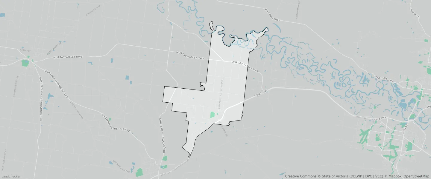
This Barnawartha suburb profile includes demographic data and planning information to help you make an informed property decision.
An average home in Barnawartha is owned with a mortgage by couples with children. The average age in Barnawartha is 40. Separate houses are common in Barnawartha and the area is mostly FARMING ZONE (73.38%), RURAL LIVING ZONE (12.17%) and PUBLIC CONSERVATION AND RESOURCE ZONE (4.91%).
Barnawartha demographics
Population
987
Average Age
40
Age Distribution
Employment Type
Median Weekly Income
Traveled to Work
Car
87.7%
Tram
0.0%
Bicycle
0.0%
Train
0.0%
Walking
3.2%
Bus
0.0%
Barnawartha property information
Number of Bedrooms
Tenure Type
Property Types in Barnawartha
Separate house
Semi detached house
Unit/Apartment
Median monthly mortgage repayments
$1,495
Median weekly rental payments
$293
Average number of bedrooms per dwelling
3.3
Average number of people per household
3
Household Composition
Family Composition
Couple family without children
One parent family
Couple family with children
BARNAWARTHA planning zones
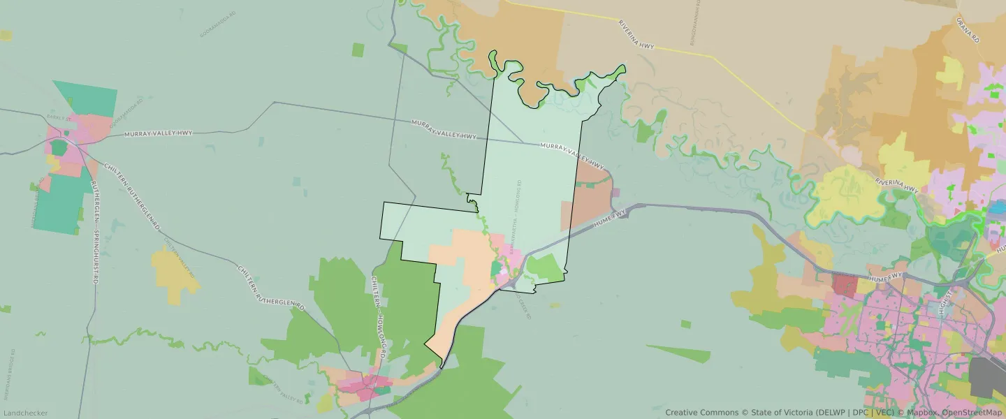
| Zone Code | Zone Name | Percentage Covered | Area Covered | |
|---|---|---|---|---|
| C1Z | COMMERCIAL 1 ZONE | 0.14% | 74,126.89㎡ | |
| FZ | FARMING ZONE | 0.54% | 277,799.85㎡ | |
| FZ | FARMING ZONE | 73.38% | 37,918,506.21㎡ | |
| GRZ | GENERAL RESIDENTIAL ZONE | 1.8% | 927,505.81㎡ | |
| IN2Z | INDUSTRIAL 2 ZONE | 1.04% | 535,721.11㎡ | |
| IN2Z | INDUSTRIAL 2 ZONE | 0.08% | 40,140.98㎡ | |
| LDRZ | LOW DENSITY RESIDENTIAL ZONE | 1.31% | 675,597.51㎡ | |
| PCRZ | PUBLIC CONSERVATION AND RESOURCE ZONE | 4.91% | 2,534,754.26㎡ | |
| PPRZ | PUBLIC PARK AND RECREATION ZONE | 0.47% | 241,105.93㎡ | |
| PUZ | PUBLIC USE ZONE | 0.14% | 71,664.03㎡ | |
| RLZ | RURAL LIVING ZONE | 12.17% | 6,287,187.26㎡ | |
| TRZ1 | TRANSPORT ZONE | 0.76% | 390,295㎡ | |
| TRZ2 | TRANSPORT ZONE | 1.89% | 978,572.08㎡ |
Looking to research a property in BARNAWARTHA?
Go to mapData Source - ABS