Baranduda VIC 3691
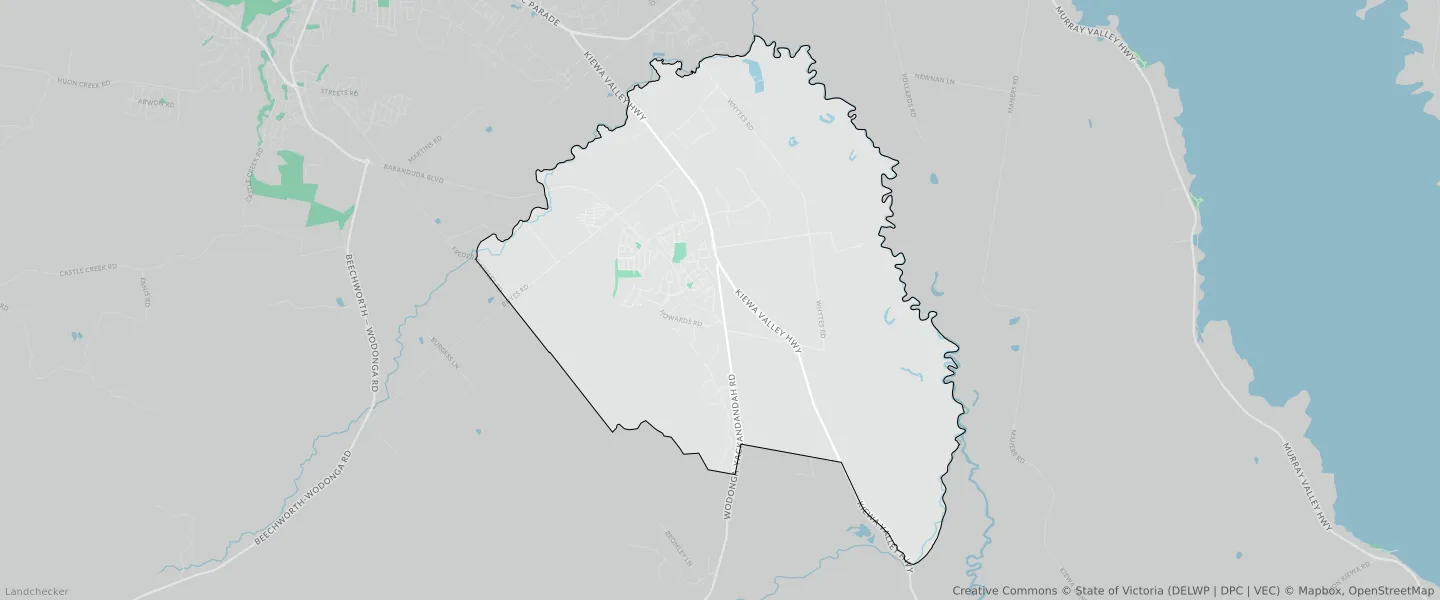
This Baranduda suburb profile includes demographic data and planning information to help you make an informed property decision.
An average home in Baranduda is owned with a mortgage by couples with children. The average age in Baranduda is 37. Separate houses are common in Baranduda and the area is mostly FARMING ZONE (39.42%), PUBLIC CONSERVATION AND RESOURCE ZONE (13.16%) and URBAN GROWTH ZONE (10.22%).
Baranduda demographics
Population
3041
Average Age
37
Age Distribution
Employment Type
Median Weekly Income
Traveled to Work
Car
91.9%
Tram
0.0%
Bicycle
0.3%
Train
0.0%
Walking
0.9%
Bus
0.3%
Baranduda property information
Number of Bedrooms
Tenure Type
Property Types in Baranduda
Separate house
Semi detached house
Unit/Apartment
Median monthly mortgage repayments
$1,684
Median weekly rental payments
$355
Average number of bedrooms per dwelling
3.6
Average number of people per household
3
Household Composition
Family Composition
Couple family without children
One parent family
Couple family with children
BARANDUDA planning zones
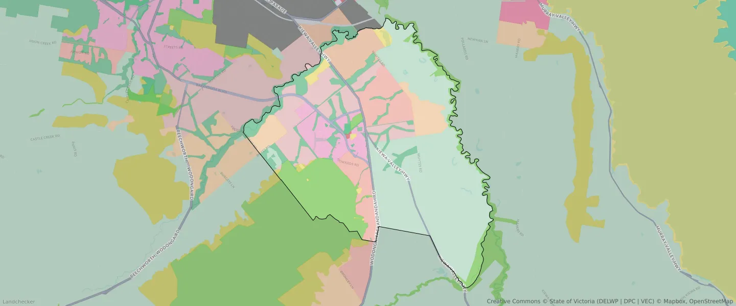
| Zone Code | Zone Name | Percentage Covered | Area Covered | |
|---|---|---|---|---|
| CA | COMMONWEALTH LAND | 0.02% | 7,664.58㎡ | |
| FZ | FARMING ZONE | 39.42% | 13,229,466.71㎡ | |
| GRZ | GENERAL RESIDENTIAL ZONE | 5.7% | 1,914,191.08㎡ | |
| IN1Z | INDUSTRIAL 1 ZONE | 4.33% | 1,453,544.43㎡ | |
| LDRZ | LOW DENSITY RESIDENTIAL ZONE | 9.5% | 3,188,160.18㎡ | |
| MUZ | MIXED USE ZONE | 0.06% | 19,820.54㎡ | |
| PCRZ | PUBLIC CONSERVATION AND RESOURCE ZONE | 13.16% | 4,414,835.89㎡ | |
| PPRZ | PUBLIC PARK AND RECREATION ZONE | 8.5% | 2,851,521.97㎡ | |
| PUZ | PUBLIC USE ZONE | 1.37% | 461,507.84㎡ | |
| RCZ | RURAL CONSERVATION ZONE | 0.18% | 60,429.12㎡ | |
| RLZ | RURAL LIVING ZONE | 5.02% | 1,686,174.92㎡ | |
| TRZ2 | TRANSPORT ZONE | 1.58% | 530,447.93㎡ | |
| TRZ3 | TRANSPORT ZONE | 0.94% | 314,691.46㎡ | |
| UGZ | URBAN GROWTH ZONE | 10.22% | 3,429,524.85㎡ |
Looking to research a property in BARANDUDA?
Go to mapData Source - ABS