Atwell WA 6164
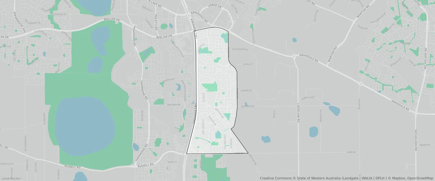
This Atwell suburb profile includes demographic data and planning information to help you make an informed property decision.
An average home in Atwell is owned with a mortgage by couples with children. The average age in Atwell is 35. Separate houses are common in Atwell and the area is mostly URBAN ZONE (86.08%), URBAN (86.08%) and R20 (61.97%).
Atwell demographics
Population
9287
Average Age
35
Age Distribution
Employment Type
Median Weekly Income
Traveled to Work
Car
82.9%
Tram
0.0%
Bicycle
0.2%
Train
5.5%
Walking
0.9%
Bus
1.2%
Atwell property information
Number of Bedrooms
Tenure Type
Property Types in Atwell
Separate house
Semi detached house
Unit/Apartment
Median monthly mortgage repayments
$1,950
Median weekly rental payments
$400
Average number of bedrooms per dwelling
3.8
Average number of people per household
3
Household Composition
Family Composition
Couple family without children
One parent family
Couple family with children
ATWELL planning zones
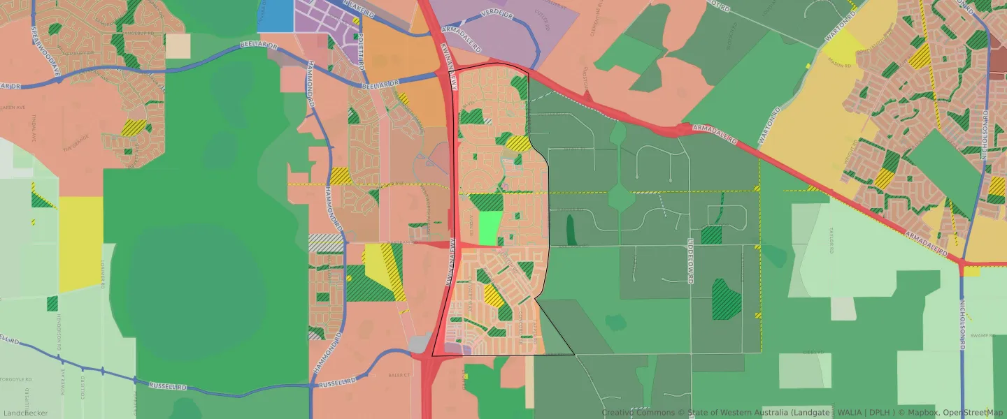
| Zone Code | Zone Name | Percentage Covered | Area Covered | |
|---|---|---|---|---|
| LAKES AND DRAINAGE | LAKES AND DRAINAGE | 0.18% | 6,340.98㎡ | |
| LOCAL CENTRE | LOCAL CENTRE | 1.23% | 44,210.53㎡ | |
| LOCAL ROAD | LOCAL ROAD | 22.23% | 798,678.51㎡ | |
| PARKS AND RECREATION | PARKS AND RECREATION | 9.2% | 330,438.76㎡ | |
| PARKS AND RECREATION | PARKS AND RECREATION RESERVE | 9.2% | 330,438.76㎡ | |
| PRIMARY REGIONAL ROADS | PRIMARY REGIONAL ROADS RESERVE | 7.66% | 275,224.56㎡ | |
| PUBLIC PURPOSES | PUBLIC PURPOSES | 2.53% | 90,972.82㎡ | |
| PUBLIC PURPOSES | PUBLIC PURPOSES RESERVE | 2.53% | 90,972.82㎡ | |
| PUBLIC PURPOSES - HIGH SCHOOL | PUBLIC PURPOSES - HIGH SCHOOL RESERVE | 2.52% | 90,507.94㎡ | |
| R12.5 | R12.5 | 1.99% | 71,422.93㎡ | |
| R20 | R20 | 61.97% | 2,226,885.53㎡ | |
| R25 | R25 | 0.59% | 21,287.49㎡ | |
| R30 | R30 | 5.15% | 185,094.71㎡ | |
| R40 | R40 | 0.85% | 30,601.22㎡ | |
| R5 | R5 | 1.33% | 47,962.87㎡ | |
| R50 | R50 | 0.64% | 23,124.6㎡ | |
| R80 | R80 | 1.13% | 40,432.88㎡ | |
| RESIDENTIAL | RESIDENTIAL | 51.85% | 1,863,380.22㎡ | |
| RESOURCE | RESOURCE | 2.56% | 92,151.48㎡ | |
| RURAL - WATER PROTECTION | RURAL - WATER PROTECTION ZONE | 3.75% | 134,612.16㎡ | |
| URBAN | URBAN | 86.08% | 3,093,203.45㎡ | |
| URBAN | URBAN ZONE | 86.08% | 3,093,203.45㎡ |
Looking to research a property in ATWELL?
Go to mapData Source - ABS