Ashby WA 6065
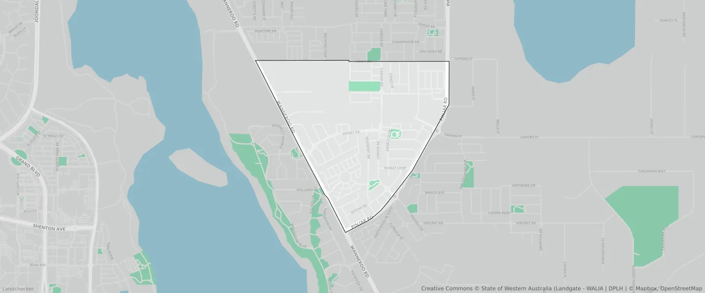
This Ashby suburb profile includes demographic data and planning information to help you make an informed property decision.
An average home in Ashby is owned with a mortgage by couples with children. The average age in Ashby is 39. Separate houses are common in Ashby and the area is mostly URBAN ZONE (71.1%), URBAN (71.1%) and RESIDENTIAL (33.32%).
Ashby demographics
Population
2850
Average Age
39
Age Distribution
Employment Type
Median Weekly Income
Traveled to Work
Car
86.4%
Tram
0.0%
Bicycle
0.0%
Train
2.7%
Walking
1.2%
Bus
1.9%
Ashby property information
Number of Bedrooms
Tenure Type
Property Types in Ashby
Separate house
Semi detached house
Unit/Apartment
Median monthly mortgage repayments
$1,863
Median weekly rental payments
$380
Average number of bedrooms per dwelling
3.2
Average number of people per household
2
Household Composition
Family Composition
Couple family without children
One parent family
Couple family with children
ASHBY planning zones
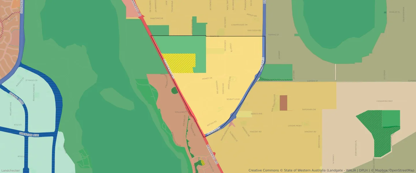
| Zone Code | Zone Name | Percentage Covered | Area Covered | |
|---|---|---|---|---|
| COMMERCIAL | COMMERCIAL | 2.44% | 34,276.83㎡ | |
| DRAINAGE AND WATERWAYS | DRAINAGE AND WATERWAYS | 0.78% | 10,932.17㎡ | |
| LOCAL ROAD | LOCAL ROAD | 15.58% | 219,016.64㎡ | |
| MIXED USE | MIXED USE | 0.29% | 4,116.06㎡ | |
| OTHER REGIONAL ROADS | OTHER REGIONAL ROADS RESERVE | 3.32% | 46,664.51㎡ | |
| PRIMARY REGIONAL ROADS | PRIMARY REGIONAL ROADS RESERVE | 2.48% | 34,911.8㎡ | |
| PRIVATE COMMUNITY PURPOSES | PRIVATE COMMUNITY PURPOSES | 7.76% | 109,025.05㎡ | |
| PUBLIC OPEN SPACE | PUBLIC OPEN SPACE | 2.42% | 34,004.4㎡ | |
| PUBLIC PURPOSES | PUBLIC PURPOSES | 7.66% | 107,636.57㎡ | |
| PUBLIC PURPOSES | PUBLIC PURPOSES RESERVE | 7.66% | 107,636.57㎡ | |
| R20 | R20 | 23.96% | 336,792.03㎡ | |
| R30 | R30 | 0.31% | 4,388.85㎡ | |
| R40 | R40 | 8.41% | 118,137.56㎡ | |
| R80 | R80 | 0.92% | 12,993.54㎡ | |
| R-AC3 | R-AC3 | 0.61% | 8,603.79㎡ | |
| R-AC4 | R-AC4 | 1.83% | 25,673.03㎡ | |
| REGIONAL OPEN SPACE | REGIONAL OPEN SPACE | 15.44% | 216,959.81㎡ | |
| REGIONAL OPEN SPACE | REGIONAL OPEN SPACE RESERVE | 15.44% | 216,959.81㎡ | |
| RESIDENTIAL | RESIDENTIAL | 33.32% | 468,196.98㎡ | |
| URBAN | URBAN | 71.1% | 999,192.21㎡ | |
| URBAN | URBAN ZONE | 71.1% | 999,192.21㎡ | |
| URBAN DEFERRED | URBAN DEFERRED ZONE | 7.66% | 107,636.68㎡ | |
| URBAN DEVELOPMENT | URBAN DEVELOPMENT | 8.51% | 119,616.26㎡ |
Looking to research a property in ASHBY?
Go to mapData Source - ABS