Argyle WA 6239
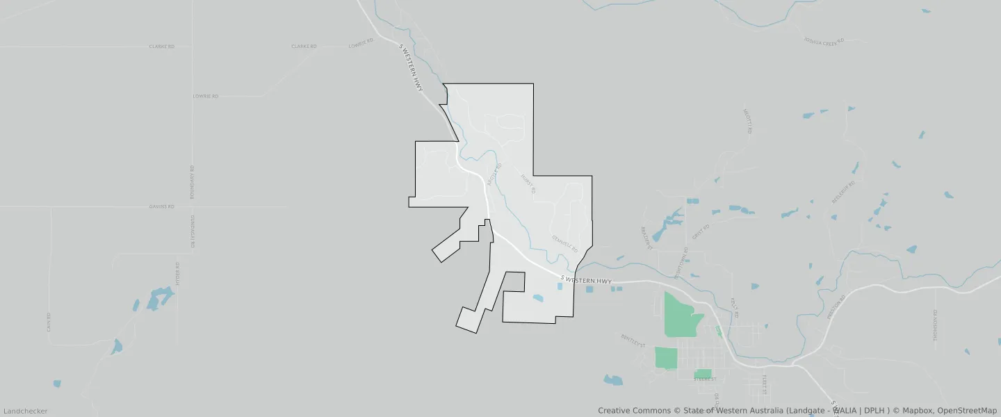
This Argyle suburb profile includes demographic data and planning information to help you make an informed property decision.
An average home in Argyle is owned with a mortgage by couples without children. The average age in Argyle is 47. Separate houses are common in Argyle and the area is mostly PRIORITY AGRICULTURE (31.82%), RURAL RESIDENTIAL (28.77%) and GENERAL AGRICULTURE (19.36%).
Argyle demographics
Population
575
Average Age
47
Age Distribution
Employment Type
Median Weekly Income
Traveled to Work
Car
91.4%
Tram
0.0%
Bicycle
0.0%
Train
0.0%
Walking
0.0%
Bus
0.0%
Argyle property information
Number of Bedrooms
Tenure Type
Property Types in Argyle
Separate house
Semi detached house
Unit/Apartment
Median monthly mortgage repayments
$2,000
Median weekly rental payments
$350
Average number of bedrooms per dwelling
3.6
Average number of people per household
3
Household Composition
Family Composition
Couple family without children
One parent family
Couple family with children
ARGYLE planning zones
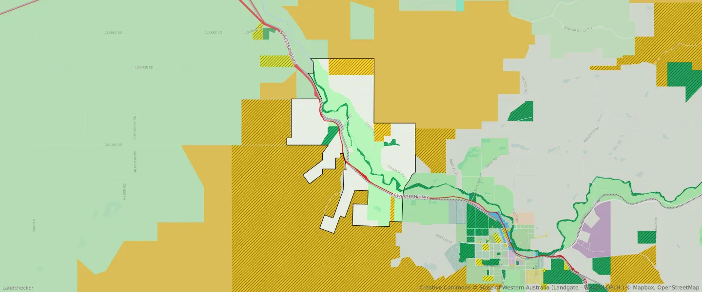
| Zone Code | Zone Name | Percentage Covered | Area Covered | |
|---|---|---|---|---|
| GENERAL AGRICULTURE | GENERAL AGRICULTURE | 19.36% | 2,668,437.17㎡ | |
| MAJOR ROAD | MAJOR ROAD | 1.08% | 148,191.61㎡ | |
| PARKS AND RECREATION | PARKS AND RECREATION | 4.06% | 560,161.58㎡ | |
| PARKS AND RECREATION | PARKS AND RECREATION RESERVE | 4.06% | 560,161.58㎡ | |
| PRIORITY AGRICULTURE | PRIORITY AGRICULTURE | 31.82% | 4,386,594.34㎡ | |
| RAILWAY | RAILWAY | 2.2% | 302,882.43㎡ | |
| RURAL RESIDENTIAL | RURAL RESIDENTIAL | 28.77% | 3,966,213.7㎡ | |
| STATE FOREST/NATIONAL PARK/CONSERVATION | STATE FOREST/NATIONAL PARK/CONSERVATION | 8.5% | 1,172,047.95㎡ |
Looking to research a property in ARGYLE?
Go to mapData Source - ABS