Archdale Junction VIC 3475
This Archdale Junction suburb profile includes demographic data and planning information to help you make an informed property decision.
An average home in Archdale Junction is rented by group households. The average age in Archdale Junction is 53. Units and Apartments are common in Archdale Junction and the area is mostly FARMING ZONE (72.66%), FARMING ZONE (25.64%) and TRANSPORT ZONE (0.76%).
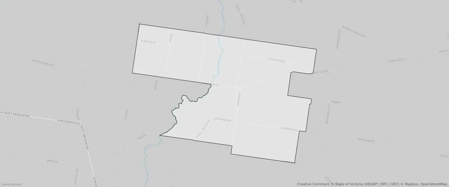
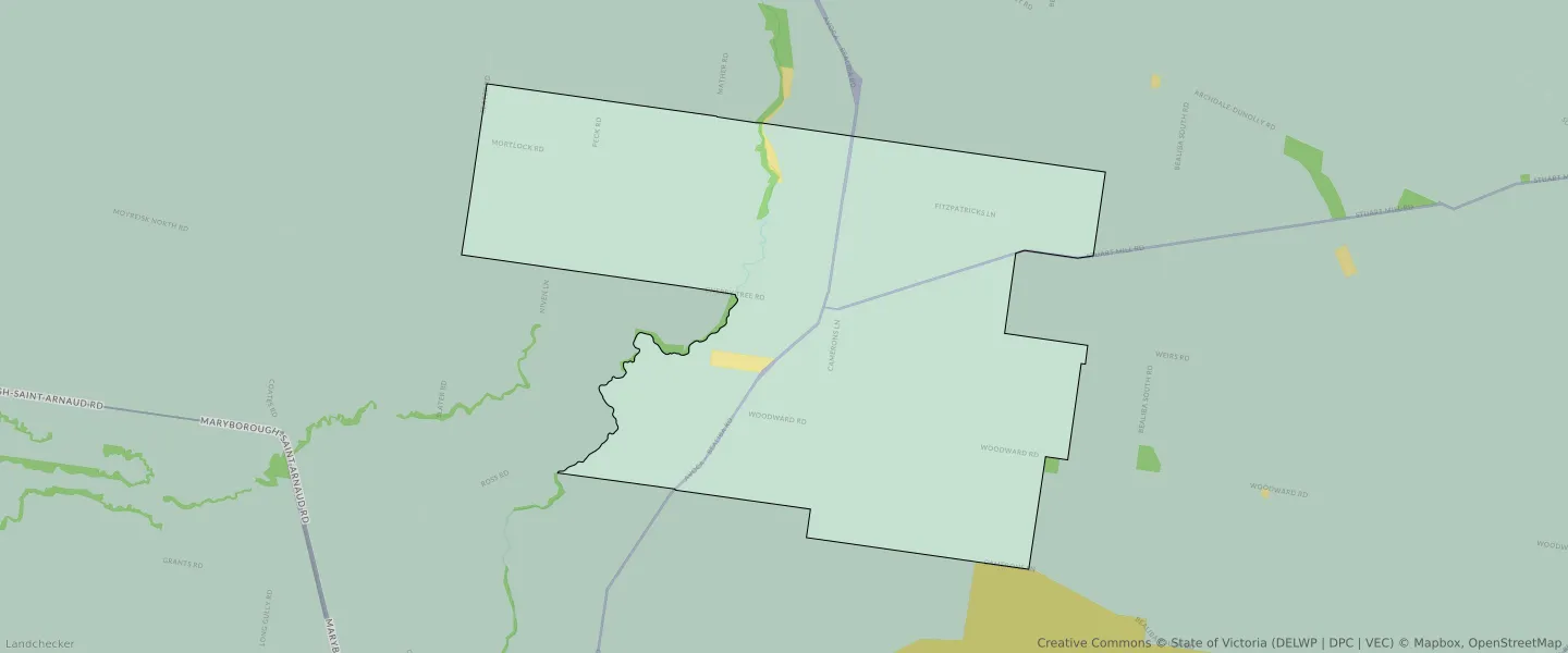
ARCHDALE JUNCTION planning zones
| Zone Code | Zone Name | Percentage Covered | Area Covered | |
|---|---|---|---|---|
| FZ | FARMING ZONE | 25.64% | 9,765,846.2㎡ | |
| FZ | FARMING ZONE | 72.66% | 27,668,801.67㎡ | |
| PCRZ | PUBLIC CONSERVATION AND RESOURCE ZONE | 0.3% | 112,620.02㎡ | |
| PUZ | PUBLIC USE ZONE | 0.63% | 241,776.24㎡ | |
| TRZ3 | TRANSPORT ZONE | 0.76% | 291,090.67㎡ |
Looking to research a property in ARCHDALE JUNCTION?
Go to mapData Source - ABS