Victorian
property
planning
permit/DA
imagery
data,
all
in
one
place.
Checking a Heritage Overlay in Fitzroy, tracing an easement on a plan of subdivision in Geelong or shortlisting sites in a growth corridor past Melton shouldn't mean opening VicPlan, LANDATA, a council permit portal and three PDFs.
Landchecker brings Victorian zones, overlays, Activity Centres, proposed amendments, property boundaries, permits, sales history and Victorian Land Registry documents together on one map. Developers, planners, conveyancers, valuers and agents use it to read a site and order the documents they need in the same session. We're an official Title Broker for Victoria, and Vic has more document types available to order than any other state in Landchecker.
Join for free today and start searching any property in Victoria.
Every Victorian Property on One Interactive Map
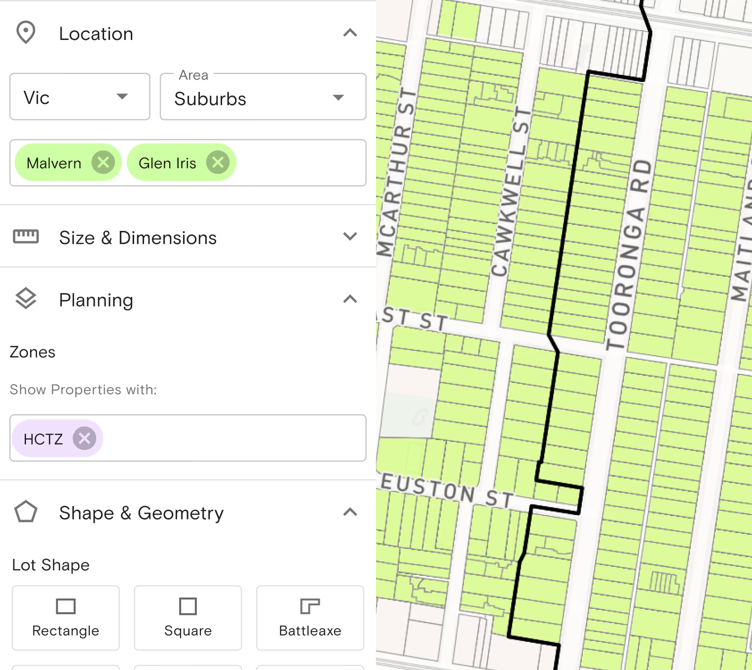
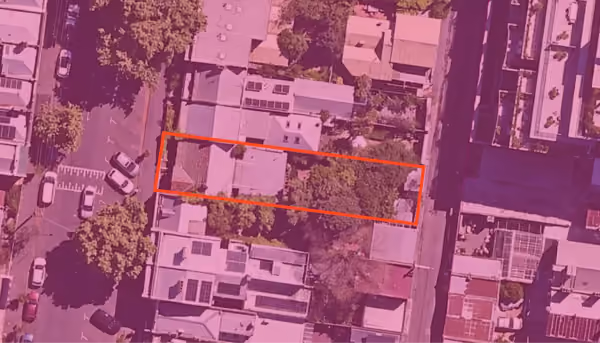
Search by address, Standard Parcel Identifier (SPI), lot and plan, council property number, crown description or volume/folio, and the map shows the property with:
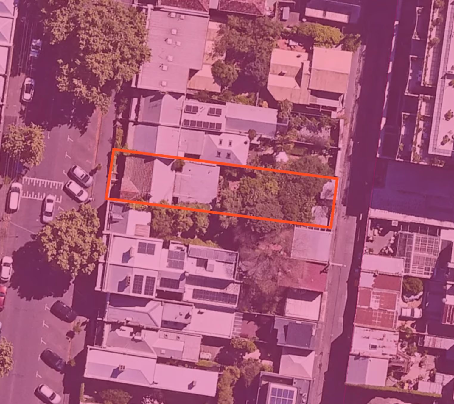
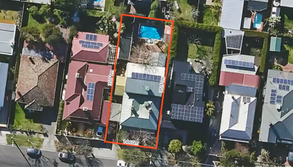
- Legal property boundaries over high-resolution aerial imagery
- Land size in square metres, acres and hectares
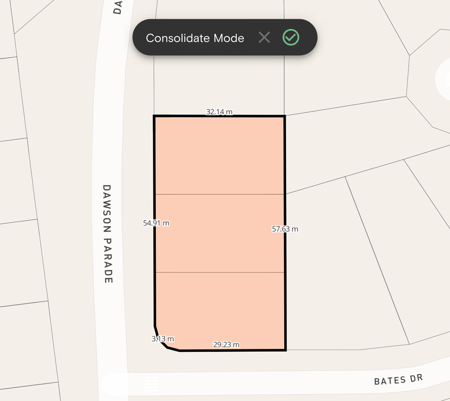
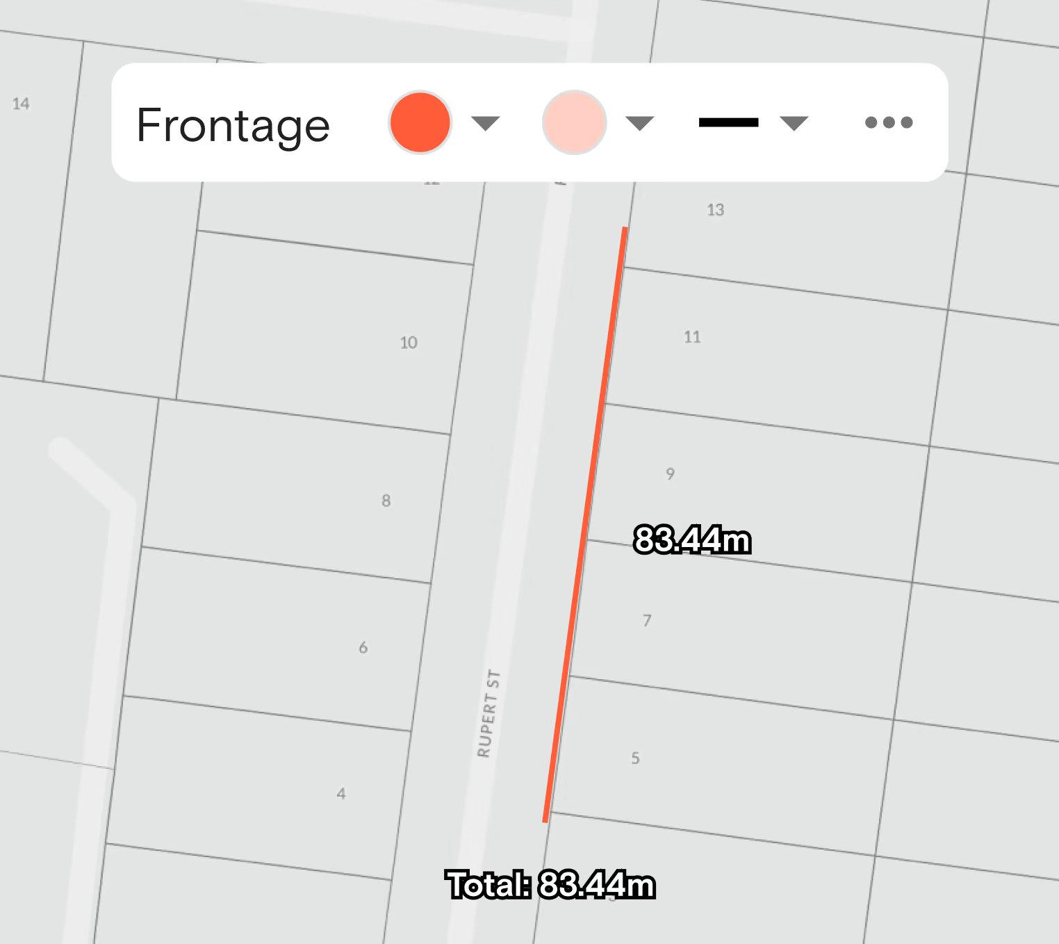
- Site dimensions, so you can check frontage and depth without a site visit
- Digitised easements shown on the map
- The local council and the planning scheme that applies
Land sizes are calculated from cadastral datasets sourced directly from state and territory government. Worth knowing: easement data in Landchecker covers digitised easements only and may represent a subset of what's actually registered — for a definitive answer, order the plan.
Victorian Zoning and Planning Controls
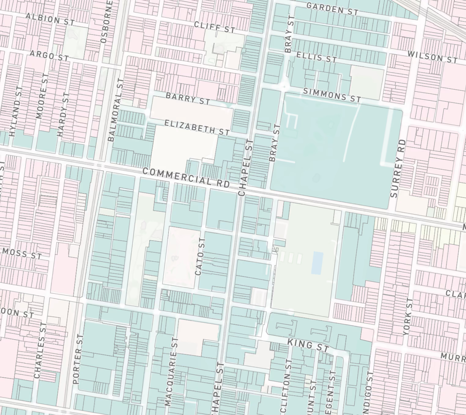
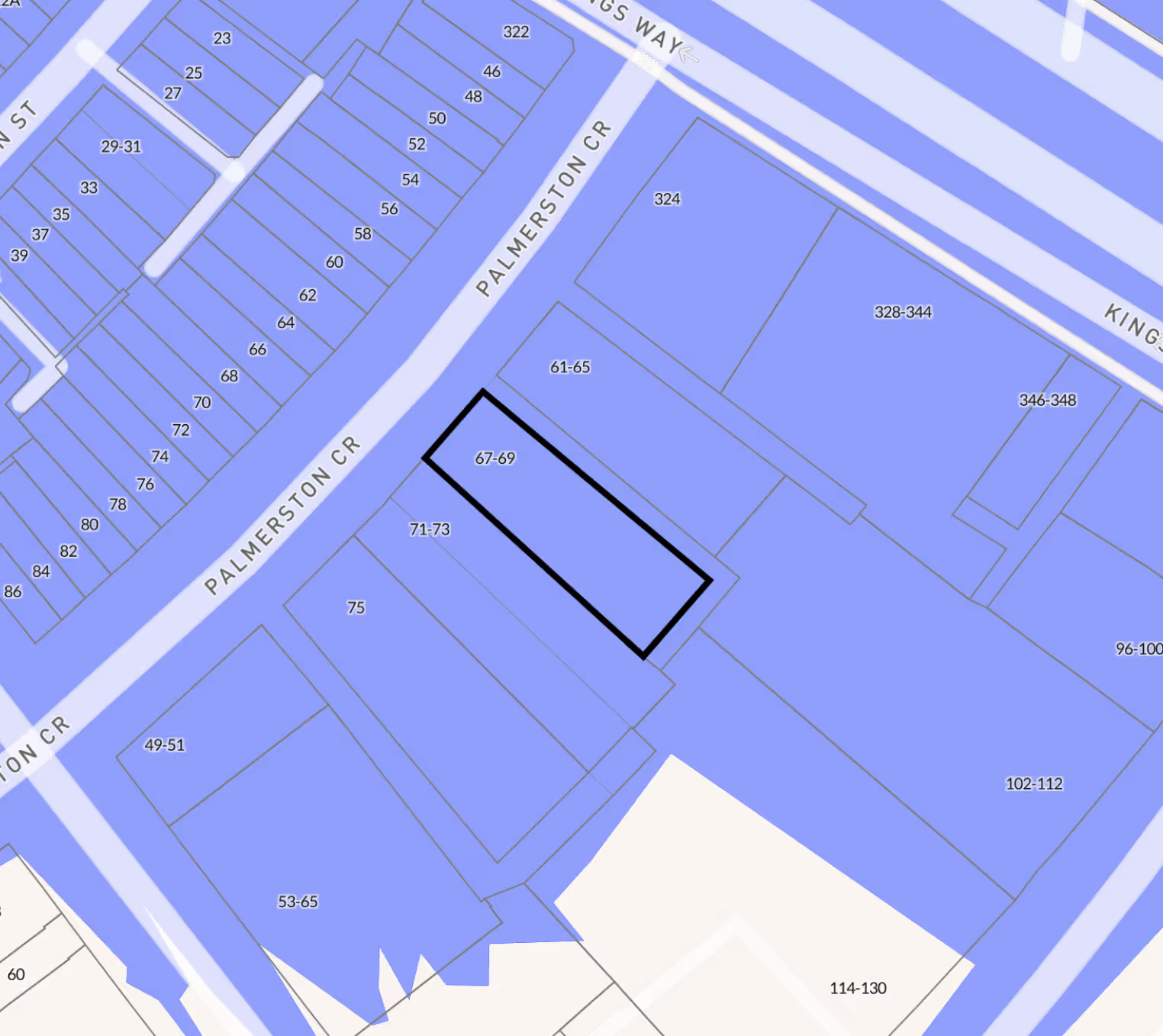
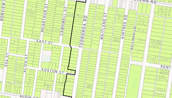
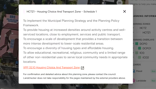
Every Victorian planning scheme is built from the same set of zones and overlays in the Victoria Planning Provisions (VPP). A General Residential Zone in Bayside works the same way as one in Ballarat, and the differences sit in each council's schedules. Landchecker shows the zone, the overlays and the scheme document for that council on the same parcel. For any Victorian property you can view:
Comprehensive Development Zones and Activity Centres
Victorian Activity Centres are also available as a dedicated geospatial dataset, which matters as more residential capacity gets directed into them.
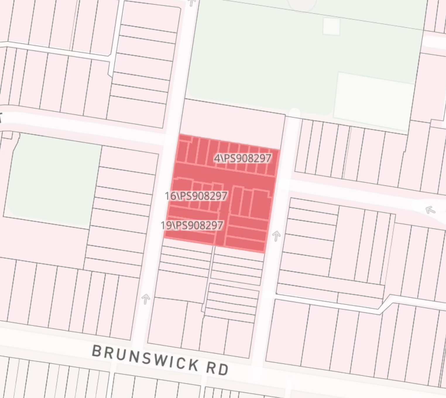
Proposed Changes, Not Just Current Controls
If you're buying or advising on a site with an amendment underway, that's the difference between pricing today's controls and pricing tomorrow's.
How to view proposed cadastres in Victoria
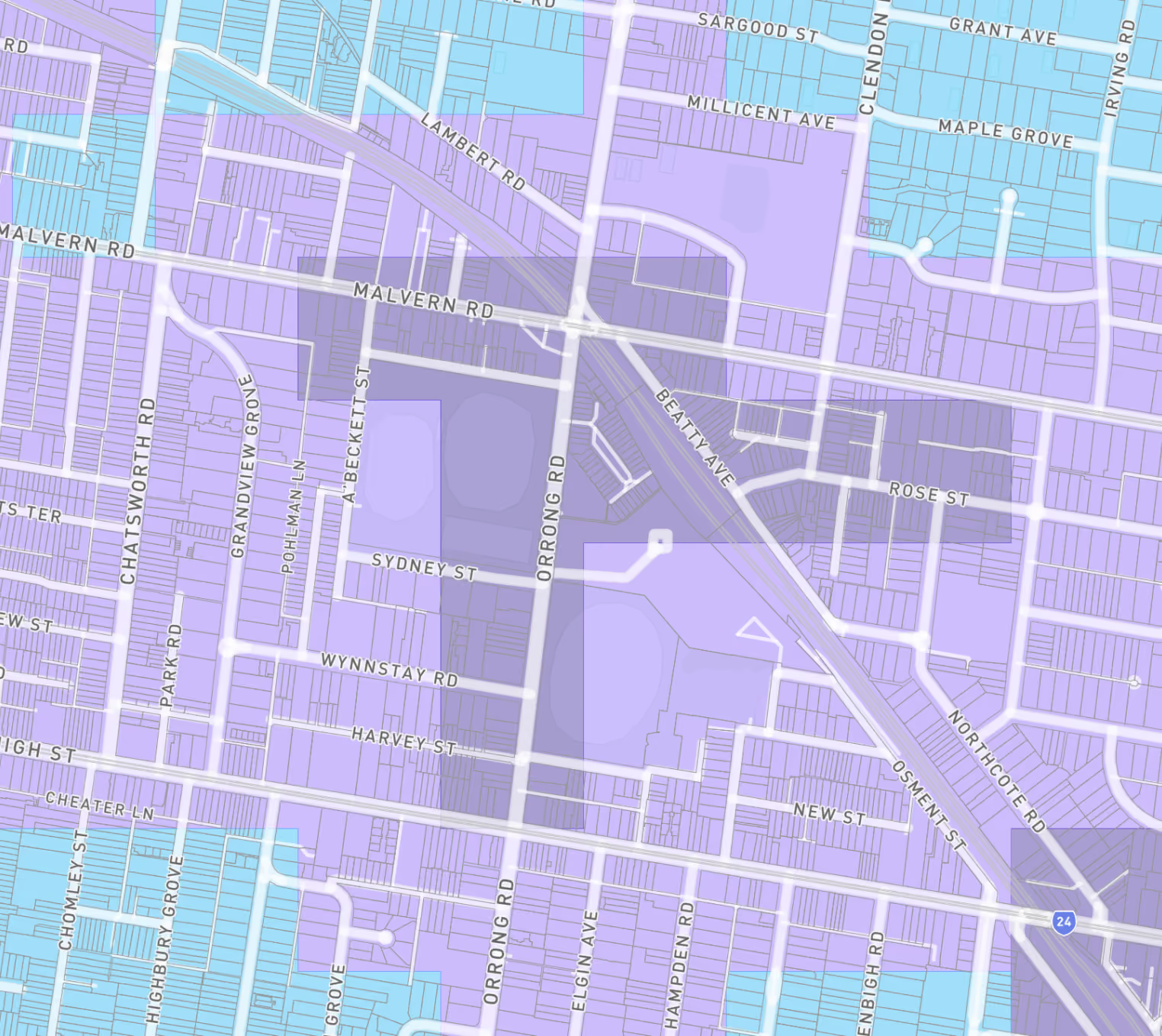
Car Parking Requirement Maps
Car parking requirement maps in Victoria
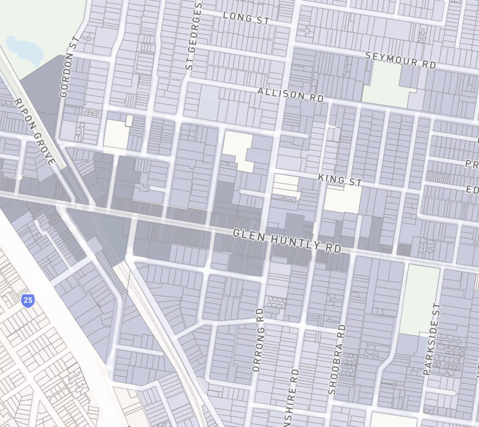
Draft Train and Tram Activity Centre Maps
How to view the draft train and tram Activity Centre maps
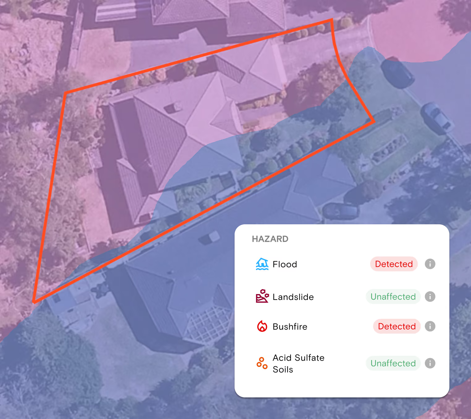
Flood, Bushfire and Hazard Data
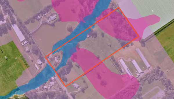
- Planning controls for risk. The Special Building Overlay, Land Subject to Inundation Overlay and Bushfire Management Overlay are Victorian planning overlays and sit with the other overlays.
- Bushfire prone areas are separate. A designated bushfire prone area is a building designation that sets the construction standard. A property can be in one without carrying the BMO, so check both.
- Documents for a certified position. Order a Flood Level Certificate or a Designated Bushfire Prone Area(s) and Planning Report from the same property view.
- ICEYE Flood Reports. These show where water reached during a recorded flood event, observed by satellite.
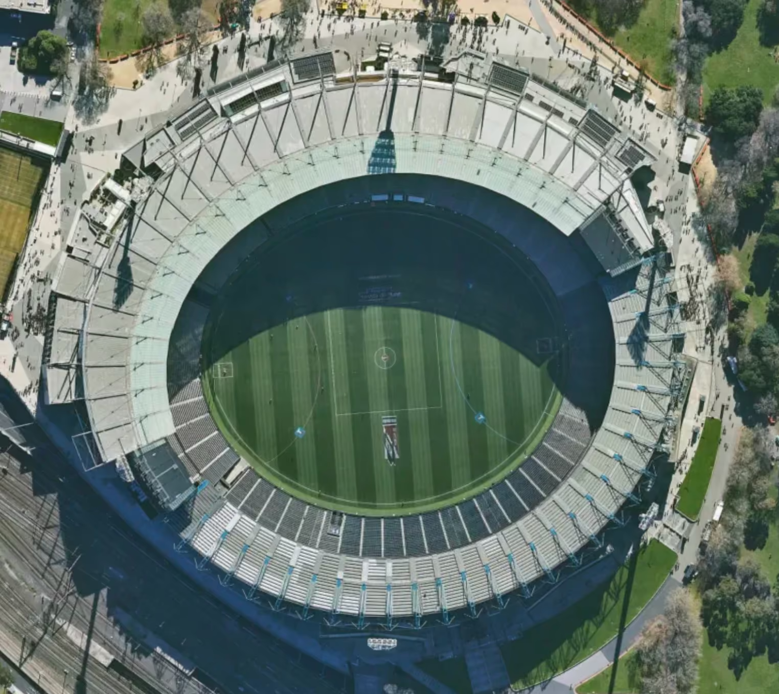
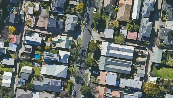
Aerial Imagery at Six Times the Resolution of Satellite
- Scroll back through the historical archive to see how a property has changed
- Imagery is refreshed quarterly across metro areas, covering roughly 95% of the population
- Export high-resolution imagery for reports, board papers and client presentations
- Unlimited on every paid plan
Permits and Development Applications
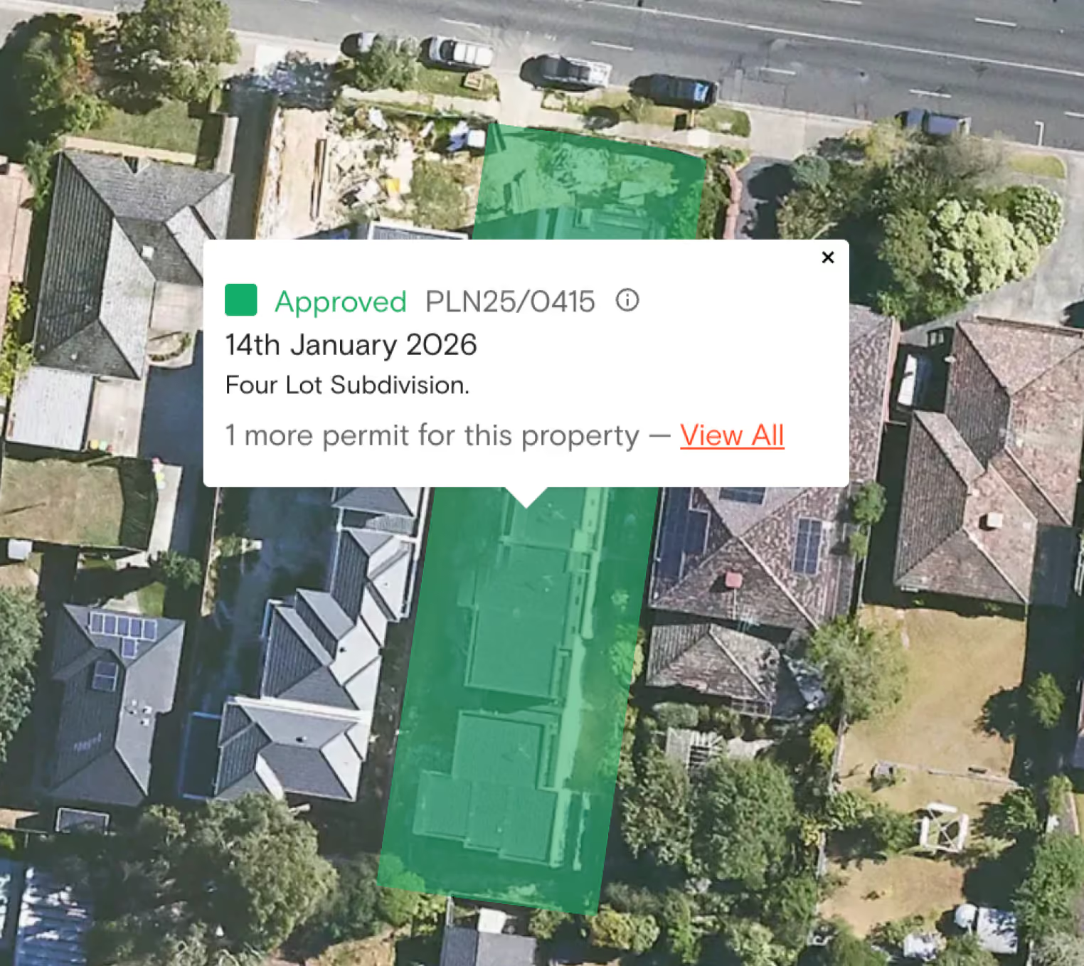
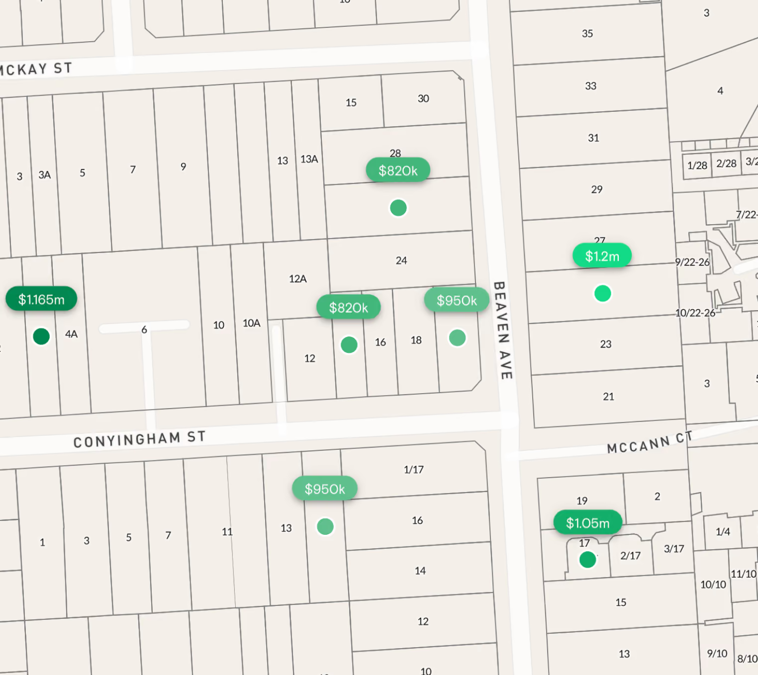
Track permit activity in your area with the Permit/DA Filter and Permit/DA Alerts. View approved, pending and rejected permits in map view using the traffic light filtering system, filter by the criteria that matter, and set alerts so new applications come to you.
For Victorian town planners in particular, consolidated permit information with filters is how you find recent precedent — the approvals that show what a responsible authority has actually been prepared to support in that neighbourhood, which is far more persuasive at council or VCAT than a scheme reading alone. Permit coverage depends on what each council publishes, so depth varies by municipality. You can check coverage in your area before relying on it for a search.
Property Documents Available in Victoria
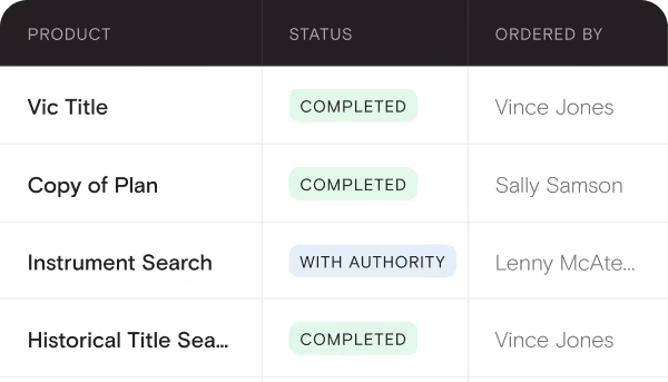
Landchecker is an official Title Broker for Victoria. You can order documents directly from the map or from the Document Searches page, at competitive rates, with delivery to your inbox in minutes. Victoria has the deepest document set of any state in Landchecker.
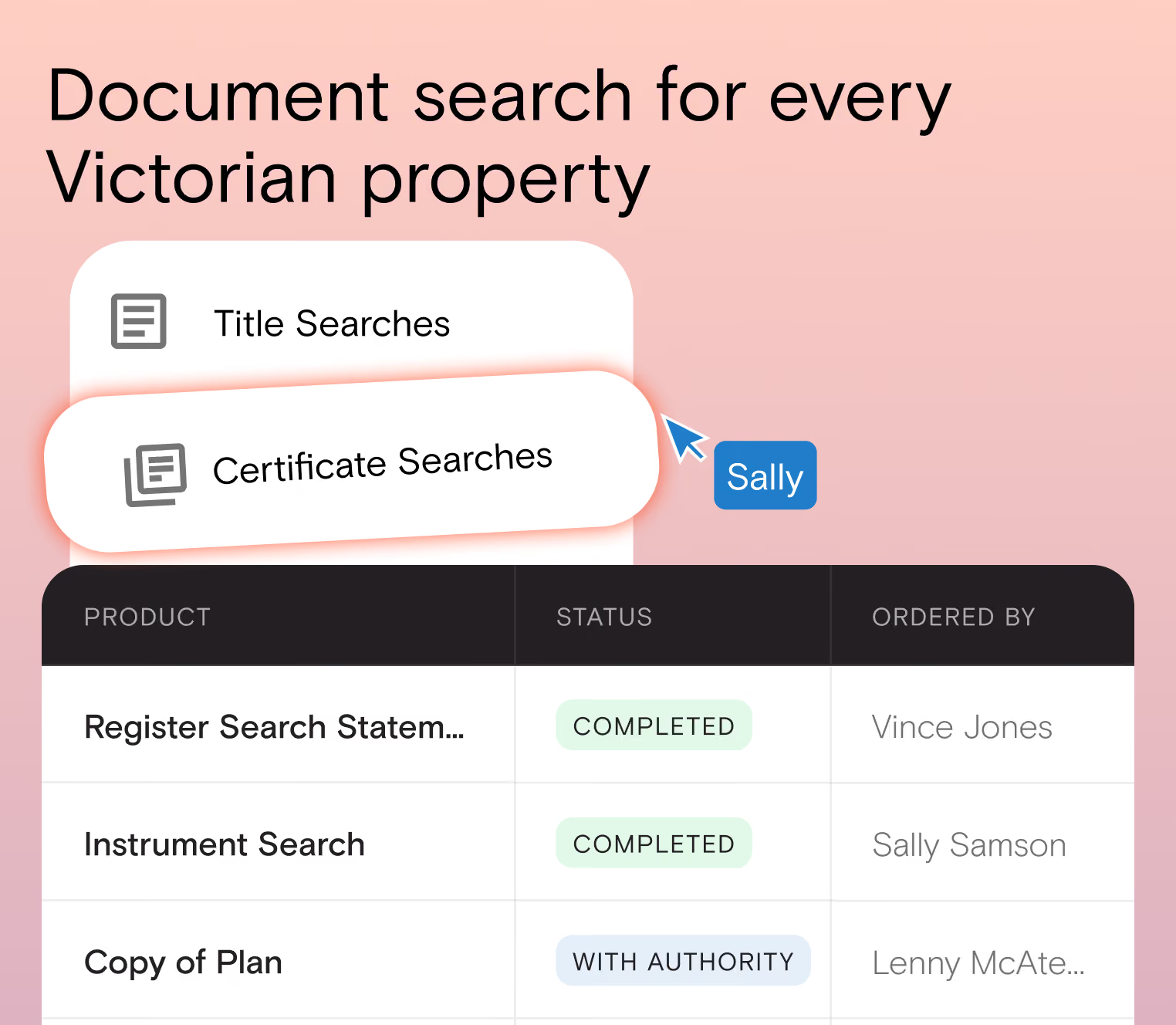
How to Order Victorian Documents
- From the map — search the address, open the Documents tab in the property information panel, and select the documents you need.
- Document Searches page — select Victoria, then search by address, council number, SPI, crown description, lot/plan, volume/folio, or owner name.
Verify a Victorian site's history, controls and sales evidence
Find your next Victorian site
Find the right information for you client
Everything you need - in one place
One place for planning data across every Victorian council
DD and collaborate
See your properties data in one easy to use platform
Want to make faster, insight-driven property decisions? Join Landchecker for free today.