Landchecker.com.au logo

Platform

Solutions

Resources

Our Plans

Product Help

How to edit the High Resolution Imagery by contrast and brightness

Customers on advanced plans can access the high resolution aerial imagery filters, please see steps below to see how.

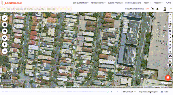
    Turn on High Resolution Aerial Imagery

    Select imagery filters from the tool section on the right hand side of the map

    Use the slider to adjust the filters as needed.

    If you would like to save these filters to apply on returning to high resolution maps please click SAVE SETTINGS

    To reset to default imagery without filters simply click RESET

How to edit the High Resolution Imagery by contrast and brightnessHow to edit the High Resolution Imagery by contrast and brightness
PlatformData on DemandHigh-Resolution ImageryPremium Property ReportsPermits & Development ApplicationsSite FinderProjectsDrawing ToolsSite ConsolidationPlanning ZonesPlanning OverlaysProperty & Land BoundariesProperty Planning Maps

Get Started

Terms & Conditions
© Copyright Landchecker 2026

Landchecker respectfully acknowledges the Traditional Owners of the land on which we are located, the Wurundjeri Woi-wurrung and Bunurong Boon Wurrung peoples of the Eastern Kulin and pays respect to their Elders past, present and emerging.