
Product Help
How to change the property boundary colour
Customise the property boundary colour on Landchecker to better suit your visual needs or branding. This guide will walk you through the simple steps to change the boundary colour of a specific property, allowing you to create a more personalised map view.
This update is available on all paid plans. Upgrade to access this feature and other functionalities for better property insights.
Upgrade today to change property boundary colour
Read on for the step-by-step guide on how to change the property boundary colour of a specific parcel on the map.
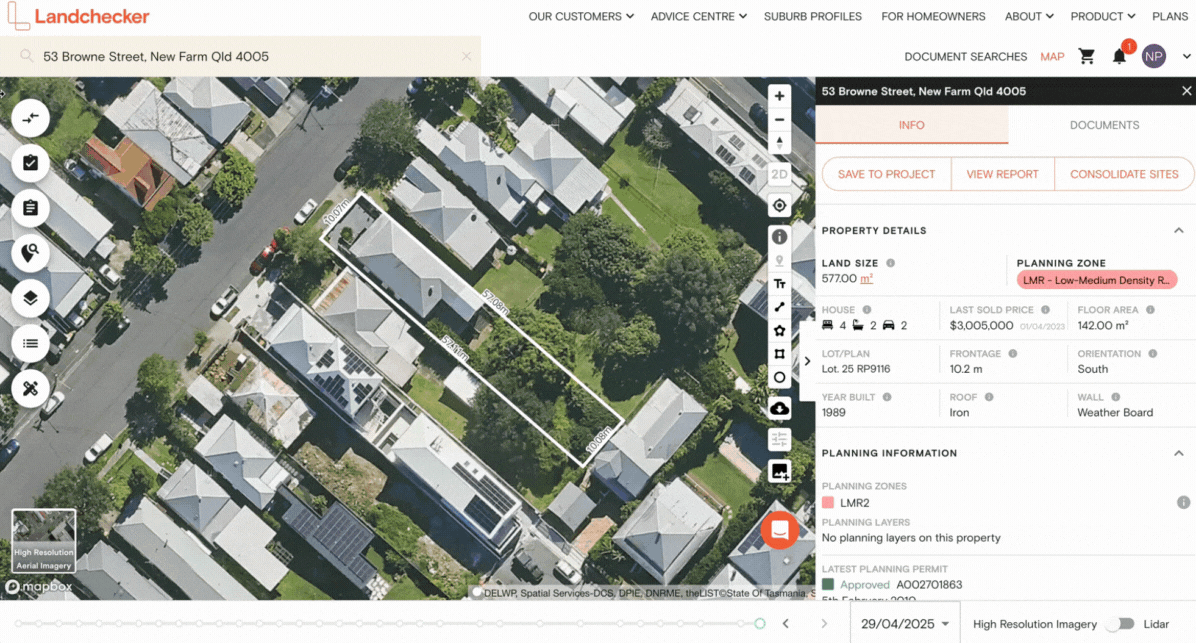
1. Search for a property in the address search box
2. Set your map view to High Resolution Aerial Imagery or Base Map
3. To change the property boundary colour, select Subject Property Settings under Common Layers on the left-hand side menu.
To customise the property boundary colour, you can:
Select a custom shade using the gradient tool.
Manually input your company's branding colour using its hex code.
Choose from one of the 10 standard colours.
Once you’ve set the property’s boundary colour, this will be automatically saved under the Property Boundary Settings so you don’t have to save it each time you switch to a different map view.
Under Property Boundary Settings, you can also toggle on the Property Dimensions, switch the Dimension Unit between metre and feet, and show or hide the Bearings.