Gilgunnia NSW 2877
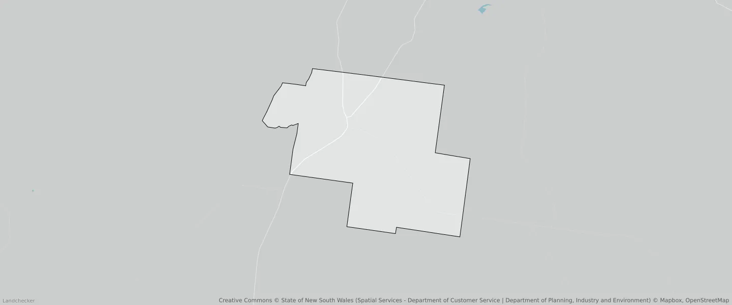
This Gilgunnia suburb profile includes demographic data and planning information to help you make an informed property decision.
An average home in Gilgunnia is other/not stated by group households. The average age in Gilgunnia is 0. Units and Apartments are common in Gilgunnia and the area is mostly Primary Production (96.29%), Forestry (3.46%) and Infrastructure (0.25%).
Gilgunnia planning zones
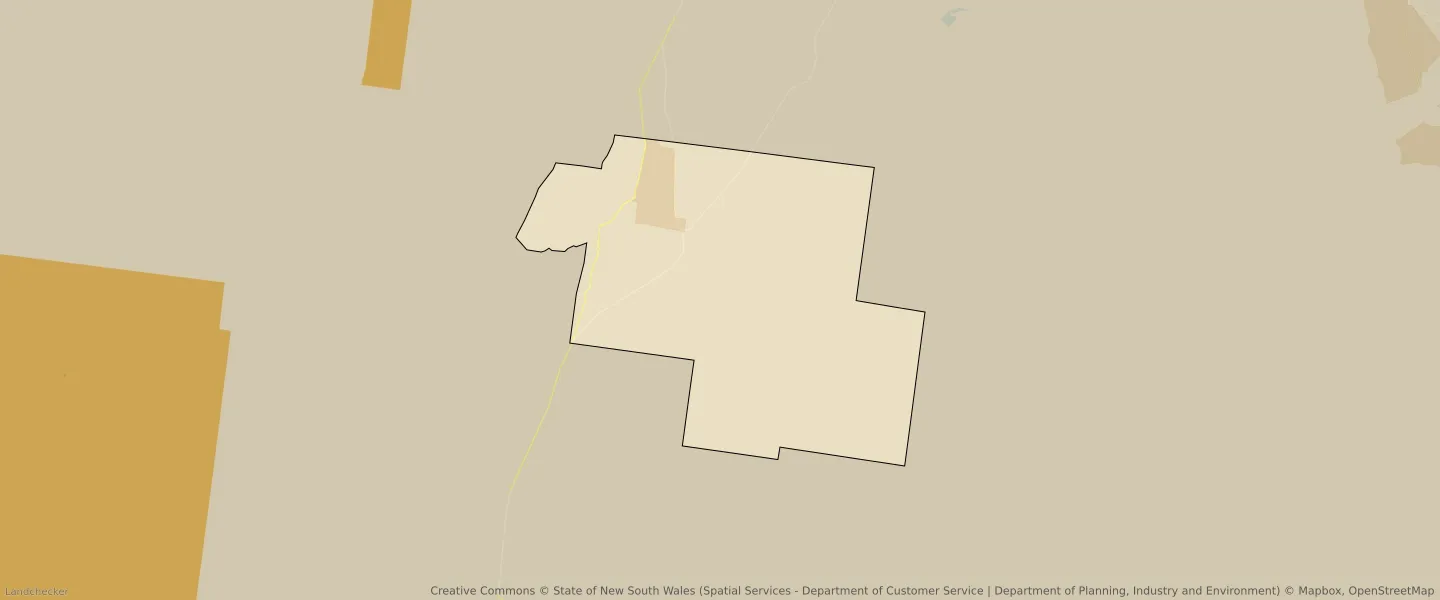
| Zone Code | Zone Name | Percentage Covered | Area Covered | |
|---|---|---|---|---|
| RU1 | Primary Production | 96.29% | 348,240,822㎡ | |
| RU3 | Forestry | 3.46% | 12,527,656㎡ | |
| SP2 | Infrastructure | 0.25% | 895,384㎡ |
Looking to research a property in GILGUNNIA?
Go to mapData Source - ABS