Whitby WA 6123
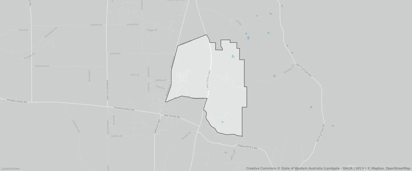
This Whitby suburb profile includes demographic data and planning information to help you make an informed property decision.
An average home in Whitby is owned with a mortgage by couples with children. The average age in Whitby is 28. Separate houses are common in Whitby and the area is mostly RURAL ZONE (37.25%), RURAL (37.25%) and URBAN ZONE (31.19%).
Whitby demographics
Population
1005
Average Age
28
Age Distribution
Employment Type
Median Weekly Income
Traveled to Work
Car
84.1%
Tram
0.0%
Bicycle
0.0%
Train
1.3%
Walking
0.0%
Bus
2.1%
Whitby property information
Number of Bedrooms
Tenure Type
Property Types in Whitby
Separate house
Semi detached house
Unit/Apartment
Median monthly mortgage repayments
$1,950
Median weekly rental payments
$360
Average number of bedrooms per dwelling
3.8
Average number of people per household
3
Household Composition
Family Composition
Couple family without children
One parent family
Couple family with children
WHITBY planning zones
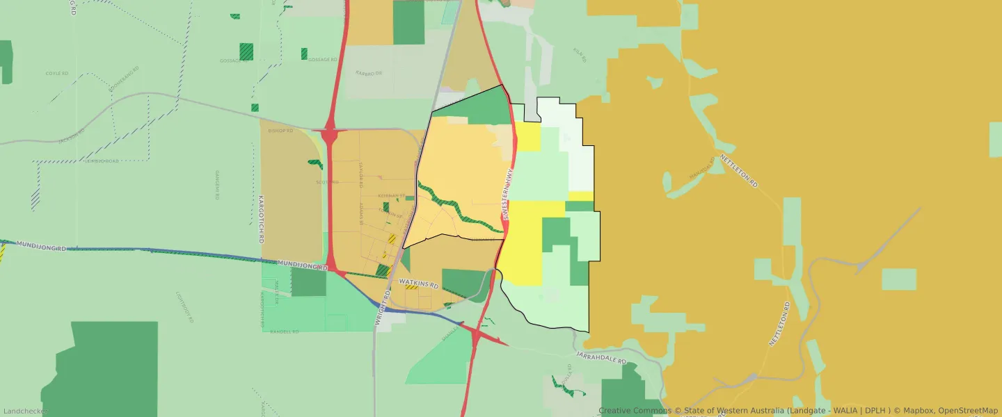
| Zone Code | Zone Name | Percentage Covered | Area Covered | |
|---|---|---|---|---|
| INDUSTRIAL | INDUSTRIAL | 0.1% | 16,579.85㎡ | |
| INDUSTRIAL | INDUSTRIAL ZONE | 0.1% | 16,579.85㎡ | |
| LOCAL DISTRIBUTOR ROAD | LOCAL DISTRIBUTOR ROAD | 0.39% | 65,958.13㎡ | |
| LOCAL ROAD | LOCAL ROAD | 1.53% | 256,955.5㎡ | |
| PRIMARY REGIONAL ROADS | PRIMARY REGIONAL ROADS RESERVE | 2.11% | 353,055.77㎡ | |
| PUBLIC OPEN SPACE | PUBLIC OPEN SPACE | 2.59% | 433,468.18㎡ | |
| PUBLIC PURPOSES - HOSPITAL | PUBLIC PURPOSES - HOSPITAL RESERVE | 0.8% | 133,262.92㎡ | |
| PUBLIC PURPOSES - SPECIAL USES | PUBLIC PURPOSES - SPECIAL USES RESERVE | 13.66% | 2,288,077㎡ | |
| R20 | R20 | 0.83% | 139,580.58㎡ | |
| R25 | R25 | 0.01% | 2,132.46㎡ | |
| R30 | R30 | 0.05% | 8,834.71㎡ | |
| RAILWAYS | RAILWAYS RESERVE | 0.93% | 156,329.13㎡ | |
| REGIONAL OPEN SPACE | REGIONAL OPEN SPACE | 11.45% | 1,917,583.39㎡ | |
| REGIONAL OPEN SPACE | REGIONAL OPEN SPACE RESERVE | 11.45% | 1,917,583.39㎡ | |
| RESIDENTIAL | RESIDENTIAL | 0.9% | 150,547.76㎡ | |
| RURAL | RURAL | 30.52% | 5,110,419.73㎡ | |
| RURAL | RURAL | 37.25% | 6,238,425.77㎡ | |
| RURAL | RURAL ZONE | 30.52% | 5,110,419.73㎡ | |
| RURAL | RURAL ZONE | 37.25% | 6,238,425.77㎡ | |
| SPECIAL USE | SPECIAL USE | 8.92% | 1,493,926.3㎡ | |
| STATE FORESTS | STATE FORESTS RESERVE | 0.02% | 3,358.65㎡ | |
| URBAN | URBAN | 31.19% | 5,223,751.97㎡ | |
| URBAN | URBAN ZONE | 31.19% | 5,223,751.97㎡ | |
| URBAN DEFERRED | URBAN DEFERRED ZONE | 2.49% | 417,264.64㎡ | |
| URBAN DEVELOPMENT | URBAN DEVELOPMENT | 27.41% | 4,589,959.45㎡ |
Looking to research a property in WHITBY?
Go to mapData Source - ABS