Lesley WA 6111
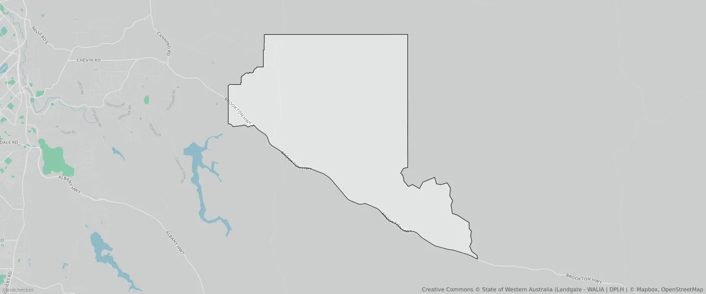
This Lesley suburb profile includes demographic data and planning information to help you make an informed property decision.
An average home in Lesley is other/not stated by group households. The average age in Lesley is 0. Units and Apartments are common in Lesley and the area is mostly STATE FORESTS RESERVE (98.16%), REGIONAL OPEN SPACE RESERVE (0.92%) and REGIONAL OPEN SPACE (0.92%).
LESLEY planning zones
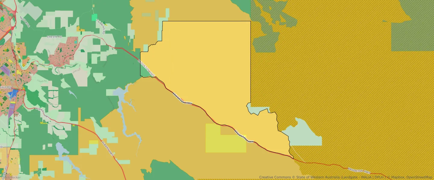
| Zone Code | Zone Name | Percentage Covered | Area Covered | |
|---|---|---|---|---|
| LOCAL ROAD | LOCAL ROAD | 0% | 116.4㎡ | |
| PRIMARY REGIONAL ROADS | PRIMARY REGIONAL ROADS RESERVE | 0.79% | 920,869.77㎡ | |
| PUBLIC PURPOSES - PUBLIC UTILITIES | PUBLIC PURPOSES - PUBLIC UTILITIES | 0.12% | 143,626.19㎡ | |
| PUBLIC PURPOSES - PUBLIC UTILITIES | PUBLIC PURPOSES - PUBLIC UTILITIES RESERVE | 0.12% | 143,626.19㎡ | |
| REGIONAL OPEN SPACE | REGIONAL OPEN SPACE | 0.92% | 1,068,322.47㎡ | |
| REGIONAL OPEN SPACE | REGIONAL OPEN SPACE RESERVE | 0.92% | 1,068,322.47㎡ | |
| RURAL | RURAL | 0% | 397.47㎡ | |
| RURAL | RURAL | 0.01% | 11,100.95㎡ | |
| RURAL | RURAL ZONE | 0% | 397.47㎡ | |
| RURAL | RURAL ZONE | 0.01% | 11,100.95㎡ | |
| STATE FOREST | STATE FOREST | 0% | 909.23㎡ | |
| STATE FORESTS | STATE FORESTS RESERVE | 98.16% | 114,165,415.67㎡ |
Looking to research a property in LESLEY?
Go to mapData Source - ABS